Saturday, November 29, 2014

Thanksgiving in Death Valley

Thanksgiving week this year was in Death Valley with Nina, Mark and Jerri. Weather was perfect for this four-day trip.
Sunday in Mosaic Canyon, where gravity was weird
Monday we hiked into the narrows of Redwall Canyon
We climbed this pouroff
Hiking back as the sun sets behind the Cottonwood Mtns
Crescent moon
Tuesday we rented a Jeep and drove Titus Canyon
Along the way we climbed 6300' Thimble Pk
The summit offers an outstanding view of the valley. From here we could even see peaks of the High Sierra
Wednesday we hiked to Zabriskie Point
We looped back to the trailhead in Gower Gulch

Sunday, November 9, 2014

November 8 in Nightmare Gulch

Sixteen of our Hiking Club members spent the day in the high desert north of Mojave, in Nightmare Gulch in Red Rock Canyon State Park. Having hiked in most of the weird places of the greater southwest, Nightmare Gulch might be the weirdest canyon I've yet seen. This was my fourth trip to this canyon.
Weird erosional forms
Runoff has created this weird 'downspout' feature in the wall
An old wall collapse debris pile, eroding away
Colorful walls
The only animal we saw all day

October 18: Ocean View from Boney Mountain

I took this shot from the summit of 3111' Boney Mountain in the western Santa Monicas. Boney Mountain is the highest peak in the range, and on clear days offers a view of the Channel Islands. Today I could count five of them.
This paraglider was circling the peak

Monday, September 1, 2014

August 30 University Peak Attempt

13632' University Peak straddles the high Sierra crest, just south of Kearsarge Pass. I considered taking a shot at it since I climbed nearby Mt Gould in 2009.  After arriving at the trailhead Friday night, I slept in my car and got on the trail before sunup. But sometimes circumstances don't favor summiting and this was one of those occasions.
Route traced in magenta, showing my farthest point of progress
Sunrise from the trailhead
From Robinson Lake: aiming for 12,700' University Pass at center
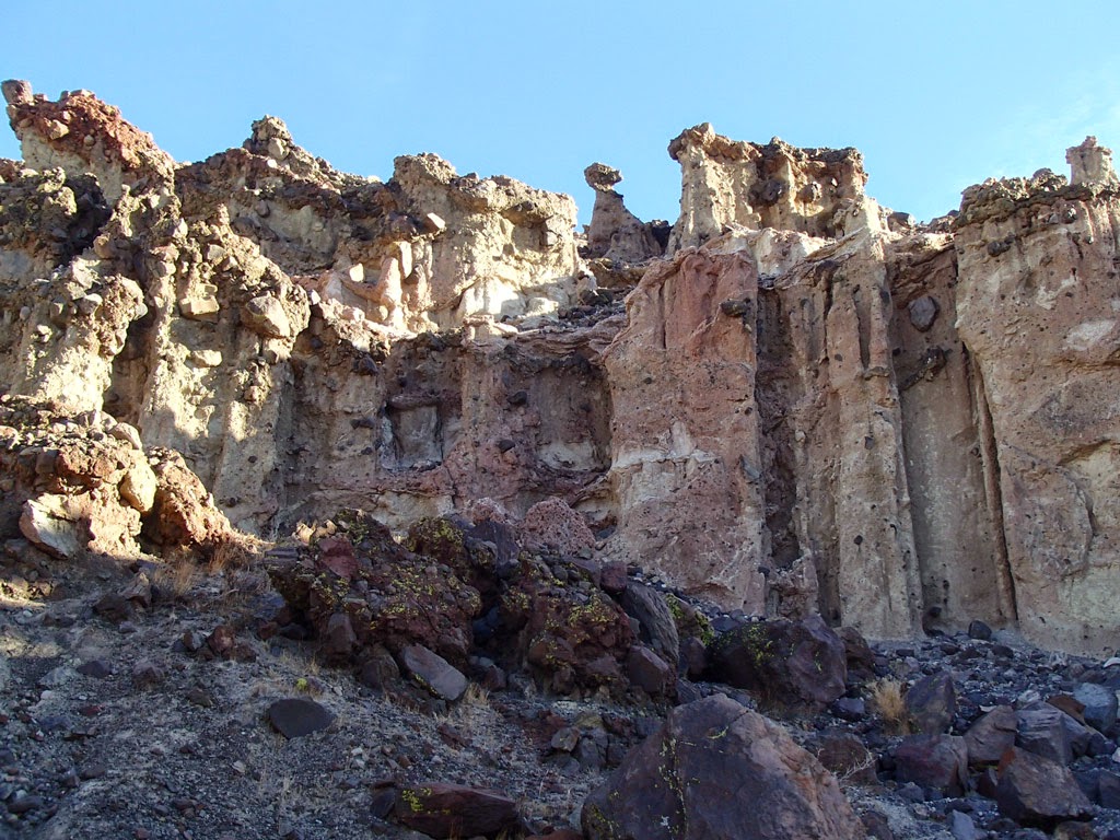
Lots of cold wind in the upper bowl. I found this small rock shelter that some previous climber built, and eye that big pile in the upper bowl just below University Pass

Atop the talus pile.  No other climbers up here today.
Here I could look across to the base of the 700' chute to U. Pass. Just gaining access to the mouth of the chute would involve crossing the rest of the pile, comprised of car-to-RV-sized boulders and holes in between.  Having spent four hours to reach this point, I ate lunch and considered the chute and high winds on top. My mind was made up when I heard rocks tumble down the chute.


Right after I started down, the sun came out
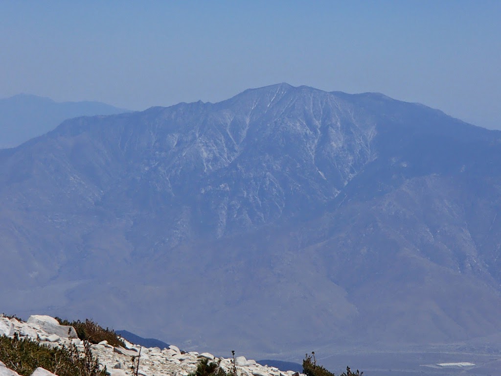
Looking down at Robinson Lake and Independence Peak. This hike was worth it for the scenery.
I had time to see the Eastern California Museum in Independence, where the Norman Clyde exhibit includes his ice axe
At the Dow Villa Hotel in Lone Pine, I drew the Norman Clyde room, upstairs on the front corner of the building. It offered a view of the Eastern Sierra that Norman Clyde would have appreciated.

Friday, August 15, 2014

Old Friends and 14'ers in Colorado

On August 1,  I met my old buddy Steve, his daughter Nicole, and his sister Teri in Colorado for a short trip to climb some of the Collegiate Peaks.

Saturday on 14,199' Mt Yale
We summited by 9:30
Sunday we summited around 10:00
The Huron Peak trail crosses this lovely alpine meadow


Finish at Huron Pk trailhead

Sunday, July 13, 2014

John Muir Trail 2014: Mono Creek to Piute Creek


Sierra Tiger Lilies

This year's hike was 56 miles, 7 days, my longest pack trip to date.  We're now working on the more remote segments of the JMT, where the trail is two days' hike in to access. From the eastern side of the Sierra near Crowley Lake our group of five hiked over 12000' Mono Pass on Day 1, connected to the JMT on Day 2, hiked over Selden Pass on Day 4, made a stop at Muir Trail Ranch and Blayney Hot Springs on Day 5, and Days 6 and 7 were spent hiking back over Piute Pass to the eastern side again.
Starting out in Rock Creek Basin (Photo by Tohru Ohnuki)
               Hiking over Mono Pass with heavy packs
Camp lights add cheer to our campsites
Day 2: 1930's Basque sheepherder arborglyphs at Laurel Creek
Camp 2 on Mono Creek (Photo by Tohru Ohnuki)
Night sky (Photo by Tohru Ohnuki)
Day 4: Lunch at Marie Lakes after leaving behind the clouds of mosquitoes in Bear Creek
Ascending Selden Pass (Photo by Mark Ammerman)
On Selden Pass (Photo by Tohru Ohnuki)
Camp 4 was at the Sally Keyes Lakes
Along the way (Photo by Mark Ammerman)


A lunch stop and resupply opportunity at the backcountry Muir Trail Ranch.
Day 6: Upper Piute Basin is vast


Day 7: Trip completion at North Lake

Sunday, June 8, 2014

On Mt San Gorgonio with the Hiking Club

This weekend was our June outing, to climb 11,500' San Gorgonio Peak in a day. Our 11 hikers - the entire group - summited. SGP is the highest peak in the San Bernardino range, and all of southern California, and hiking to its summit from the Vivian Creek trailhead is over 17 miles / 5400' of gain.  I took these shots, the first looking south at the north face of 10,800' San Jacinto Peak, 22 miles distant.  The Banning Pass and I-10 lie 10,000' below, and the impressive 10,000' tall escarpment of San Jacinto Peak pins the northern terminus of the north-south Peninsular Range that runs down to the tip of Baja.  San Gorgonio peak is in the east-west trending Transverse Ranges.  Both ranges separate the more-temperate coast from the deserts of southern California.
On a really clear day (which we didn't have) I'm certain the eastern view would extend out into Arizona.
South view, San Jacinto Peak

Hiking back down

Monday, June 2, 2014

May 24 - New Snow on Mt San Gorgonio

On the afternoon of May 23, a huge storm crossed the mountains and deserts of Southern California, dropping very heavy rain, hail, and even snow above about 9000'.  The next morning from Mt Baden-Powell's summit we saw snow on distant 11,500' Mt San Gorgonio.
Photo by Mark Ammerman