Sunday, December 2, 2018

12/1/18: Nightmare Before Christmas

Still gets around OK with a missing leg. By my best research, this would be a Mojave Tarantula by name, which is a pretty boring name, much more so than a name like Pantsleeve Tarantula, Flying Tarantula or Toilet Tarantula.

Hiking Club’s final hike of 2018 was in Nightmare Gulch of Red Rock Canyon State Park. The ten-mile loop hike we did today offered a fun cross-country dayhike through the most interesting badlands this side of Death Valley.
We had a group of 19 for a day in ever-changing scenery
Not much vegetation out here
We always find interesting calcites in NMG. Could this have once been a tool?

Clouds and blue skies offered us great photo opportunities.  Now we're on higher ground.

  Returning downcanyon in the bed of the gulch 
 

An interesting erosional feature that I call ‘the downspout’. This was formed by differential erosion of the various soft layers of volcanic tuff by runoff


In the last two miles or so the drainage opens up into a wider valley.  The hike out in the low sun was beautiful.

Our group photo back at the trailhead, just before sundown

Sunday, November 11, 2018

November 10: Hiking Club night hike

So we had about 24 signed up for a night hike above LA but with all the smoke in the air there was just seven of us that showed.
Looking west, toward the fires which burned the mountains in the distance
Looking south toward downtown LA
For 24 hrs the offshore wind stopped, and the onshore flow normalized, causing all the smoke over the ocean to drift back inland over LA.  We could spot absolutely no fires burning in the distance, but they resumed the next morning when offshore wind restarted.  The good news is, the Pacific Ocean makes a pretty good firebreak. The bad news is for you if you picked the Malibu coast to live, given that this exact scenario plays out every couple of years.

Sunday, October 21, 2018

October 20: Solo Night Hike in the Santa Susanas

If I had my tripod these photos would be less blurred but the night was utterly clear and dry, and the view of the San Fernando Valley was great.

Sunset
SE view, looking across the valley toward Hollywood and downtown LA

Sunday, October 7, 2018

October 7: Falcon 9 Launch at Vandenberg AFB

The Vandenberg range is about 115 miles west of here, and the mountaintop park on the west side of town makes an ideal place to watch them go.  I could watch as the Space-X rocket ascended into the sunlight, then its first stage return to the base after separation.
On ascent
First stage is that spot of light at 3:00
Oh, and my buddy Paul could see this launch from Phoenix, which is pretty cool.

Sunday, September 16, 2018

September 15: Hiking Club on peaks in the San Gabriels


Group photo on the summit
Downtown LA, the ocean beyond, Mt Wilson observatory at far right

Monday, September 10, 2018

September 3-9: CO-NM Trip

 Labor Day Weekend I visited my brother in Denver, then spent the next week driving down thru central Colorado to Taos and Albuquerque.  My idea was to climb one of the Collegiate Peaks in the Sawatch Range on the Continental Divide.  Plan was to stay two nights in Buena Vista, climb Mt Harvard, then climb the highest peaks in New Mexic, which are clustered above Taos.  I dropped off the car and flew home from Albuquerque.

The 1880's county courthouse in Buena Vista
Early on summit day, Mt Harvard has a new mantle of snow
Route to Mt Harvard summit
But upon waking up the peaks displayed a dusting of snow. This didn’t make 14421’ Mt Harvard impossible, but summit conditions would be a frozen whiteout with wind and no view.
At the edge of the clouds at Bear Lake
I stopped for lunch at the cloud ceiling at 12400’ Bear Lake - my turnaround point. It was a dramatic day for photos and instead of feeling cheated, I enjoyed the opportunity to hike again over Colorado tundra.
The clouds cleared for a view south to Mt Yale
On the return I met a young hiker with a PCT patch on his pack.  I inquired, he said he hiked the trail in 2017, and in short time we were discussing common friends.  

South of Buena Vista a low divide separates the Arkansas drainage (which ends up in the Mississippi) from the Rio Grande headwaters, which drains straight south thru New Mexico. So I’d forgotten about Zebulon Pike, but while Lewis & Clark were yet on their way home from the NW in 1806, Thomas Jefferson sent Army Lt Zebulon Pike to explore the southern Louisiana Purchase by following the Arkansas River to its origin in the Rockies.   
Roadside display near Alamosa

They followed the drainage beyond his 14000’ namesake peak,  then ended up wasting time traveling in a big circle, then not far from this roadside display, on land that had been New Spain for a hundred years already, they found themselves under foreign jurisdiction, earning them a forced escort to the Chihuahuan capital city by Spanish troops.  There the governor released them, as Mexico was not at war with the US, but Zeb and the boys then got escorted all the way back to Nachitoches Louisiana, and didn't even get overtime pay.  Kind of a bummer trip, not as inspirational as the Lewis and Clark story, which is why you didn't learn about it in history class.  Anyway, Pike's expedition stumbled into Spanish territory thru that low notch in the 
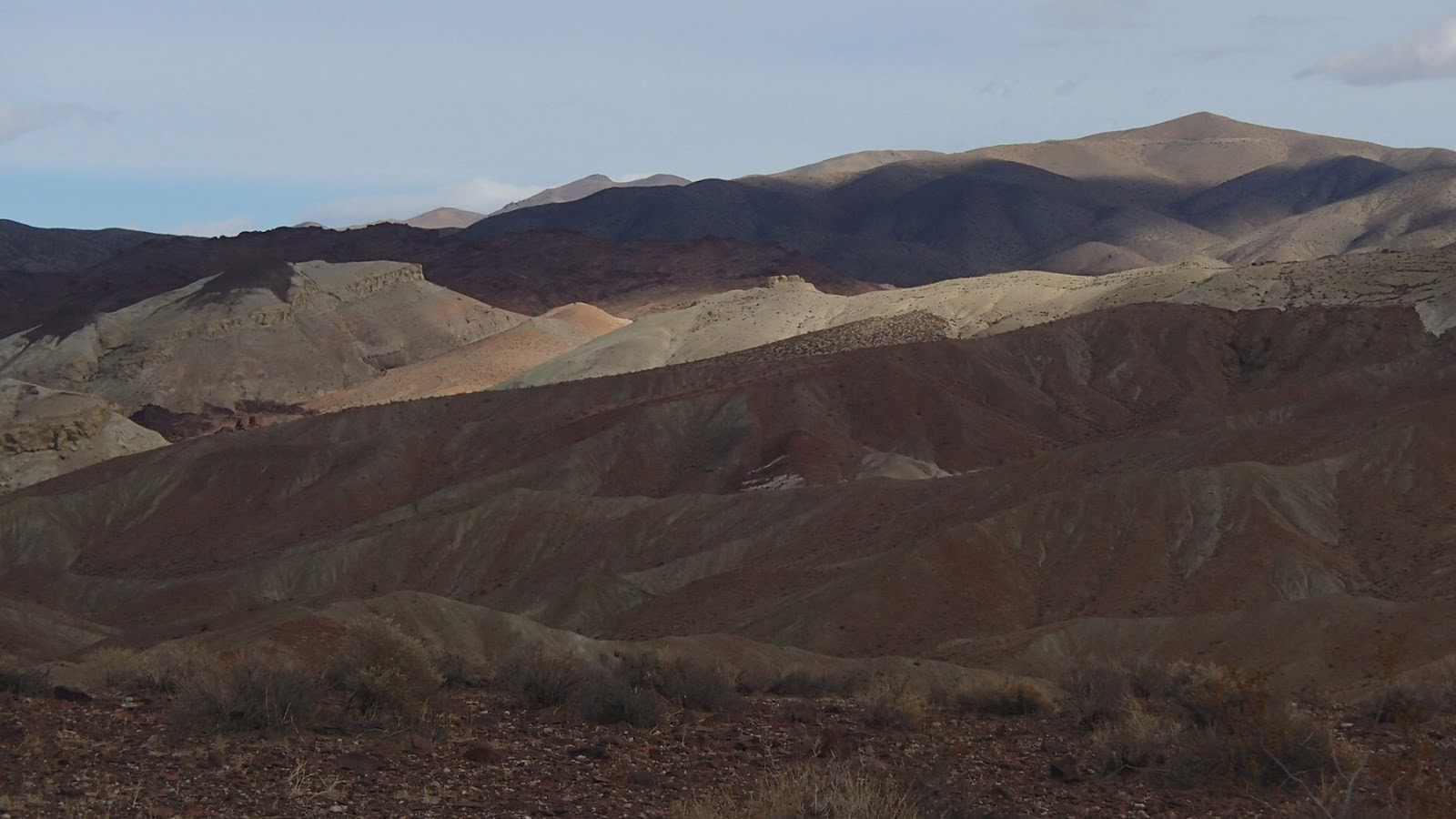
Sangre de Cristo range:
Medano Pass, with Great Sand Dunes below
 Yeah, and they remarked about the Great Sand Dunes in their journal.

Dunes with the Sangre de Cristo range behind
I wanted to hike to the 750' high summit dune today, but didn't have time.

Looks like a big climb
I drove another two hours south to Taos, where I met my friend Nina for some hikes.
On a hike in the  Rio Grande Gorge
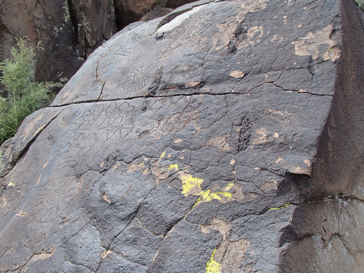
Old petroglyphs
The Sangre de Cristos form the tailbone of the Rocky Mountains, where the range finally peters out around Santa Fe -  but not before presenting several 12,000 - 13,000' peaks. We climbed 13,161' Wheeler Peak, the highest in the state, and four attendant peaks.  It was a five peak day!
 
At the register on Wheeler Peak's summit
A herd of bighorns inhabits these heights
Scenery on the descent
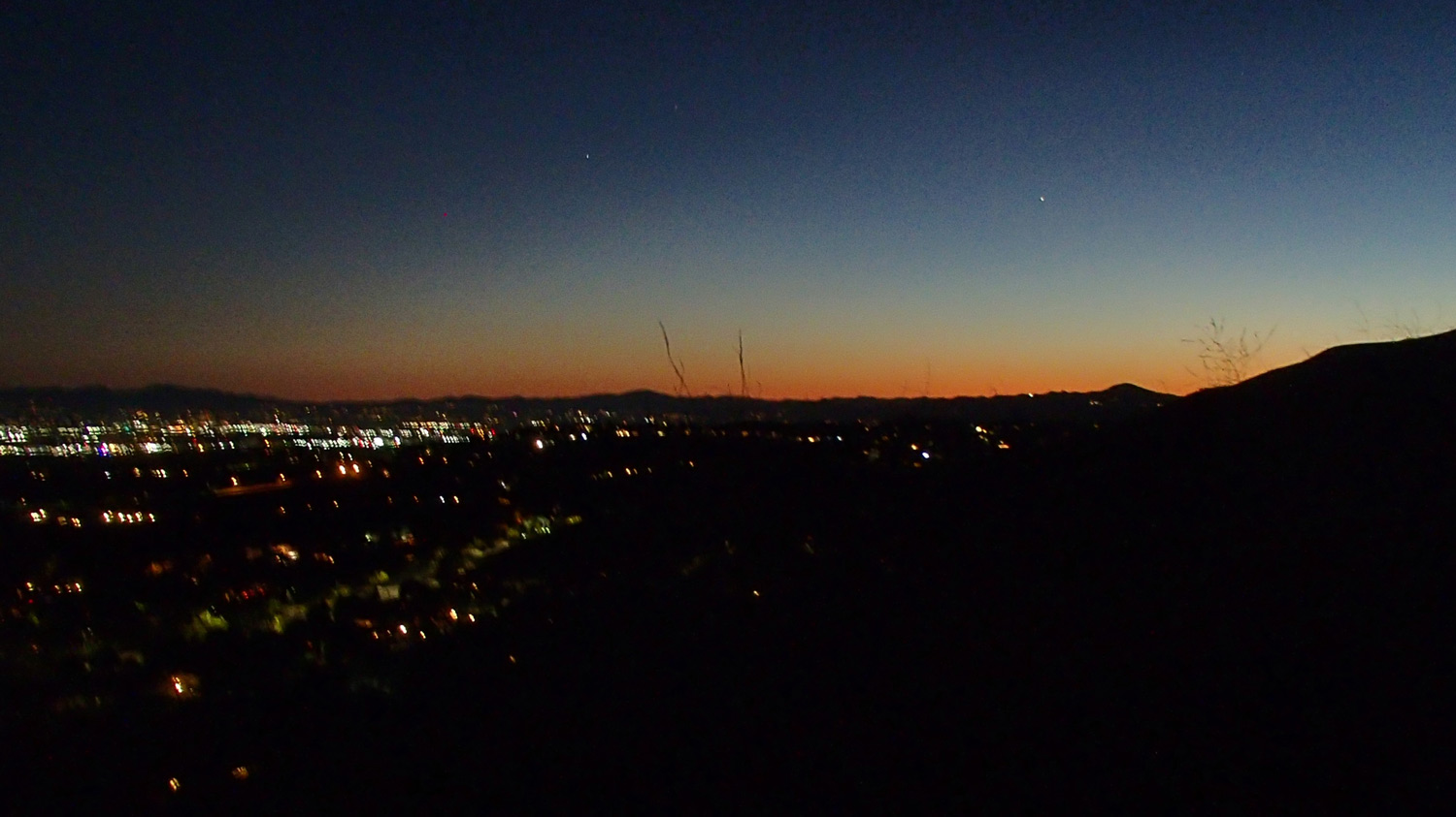
Sunset from Taos


-->

Tuesday, July 31, 2018

July 28 in Chicago

On the Chicago River

It was a beautiful sunny day, in the 70s

"The Honorable Richard J. Daley Plaza. That's where they got that Picasso."

"The Office of the Assessor of Cook County"


If you fail to recognize these then you haven't seen THIS enough times

Monday, July 30, 2018

July 7 in the South Sierras

Where the trail breaks out of the  forest, with Cirque Peak behind
 One of my favorite dayhikes in the Sierras is the 15-mile loop from the Cottonwood Lakes, cross-country over the summit of Cirque Peak, down to the PCT, and return through Horseshoe Meadows.
After departing the Army Pass trail in the upper basin, the hike climbs a route up the north face
Saw these two bighorn rams on the climb up. View full size to find them.
On the 12,900' summit
View north includes 14'ers Mt Whitney and Mt Williamson
Looking SW, on the cross-country route back to treeline and the PCT.  That's Big Whitney Meadow below.
Next morning, I get to watch the rising sun's rays hit the peaks of the Eastern Sierra from the porch of the Dow Villa.